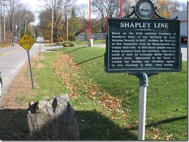
Based on the 1640 southern boundary of Bachiler‘s farm, it was surveyed by Capt. Nicholas Shapley in 1657, dividing the Province of New Hampshire from the Massachusetts Bay Colony from 1689-1741. In 1662 three Quaker women, being banished from the territory, were freed south of here by Constable Walter Barefoot. Edward Gove, imprisoned in the Tower of London for leading the rebellion against Lt. Gov. Cranfield in 1683 lived nearby.
This Marker is located on US1 in Seabrook, at the corner of Rocks Road, and was erected in 1975
And the Bonus Marker:
Marker Text:
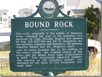
This rock, originally in the middle of the Hampton River, indicated the start of the boundary line surveyed by Capt. Nicholas Shapley and marked by him "AD 1657-HB and SH" to determine the line between Hampton and Salisbury, HB meaning Hampton Bound and SH, Shapley’s mark. Lost for many decades due to the shifting of the river’s mouth, the original course of the river and the Bound Rock were rediscovered in 1937. This historically important boulder, still serving as a boundary marker, was enclosed by the State of New Hampshire that same year.
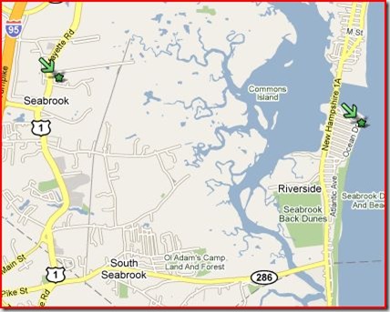
Located on a small lot near the End of Woodstock St. At the Light south of the Hampton Harbor Bridge, turn into Hookset St, then left on Ocean Drive, and Left on Woodstock.
This pair of markers represent the settlement of a longstanding feud between the towns of Hampton and Salisbury. As we have seen previously, the Early New Hampshire Towns were eventually ceded to Massachusetts because of the confusion over the various grants.
Once the Reverend Bachilor recieved his land grant for his farm, the good folks in nearby Salisbury (there was no Seabrook then) complained to the Massachusetts Bay Court that the land belonged to them. The bickering and surveying went on for years, until finally, in May 1657 Capt. Shapley surveyed the border and the court settled the matter.
The westernmost end of the line was originally a very large tree that stood where the Shapley Marker now is, and was replaced by the stone you can see in the top photo. The eastern end was marked by Bound Rock.
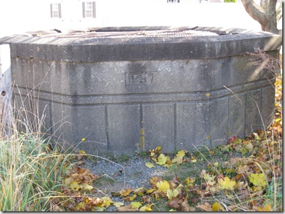
For many years Bound Rock was lost to the shifting coastal sands and meandering of the Hampton river. It was re-discovered in 1937. The town of Hampton purchased the small lot of land it was found on. As it was found below the ground and an enclosure was built for it.
The day I was there, looking through the grate that covers then enclosure, all that was visible was a lot of water. From this photo, it looks as though the rock is about 20 feet below ground.

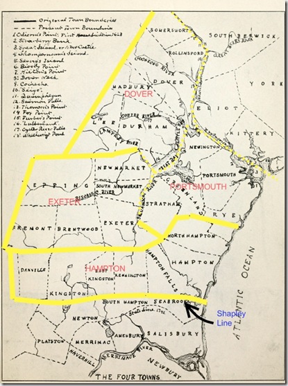
With the settling of this border spat, the borders of the first 4 towns in New Hampshire – Strawberry Banke (Portsmouth), Dover, Exeter, and Hampton – were defined.
Here is a Map I highlighted to emphasize the town boundaries. The original is from Stackpole’s History, Vol 1, Page 31.
